
ALBUFEIRA
N 37º 5' 23''; W 8º 14'45''
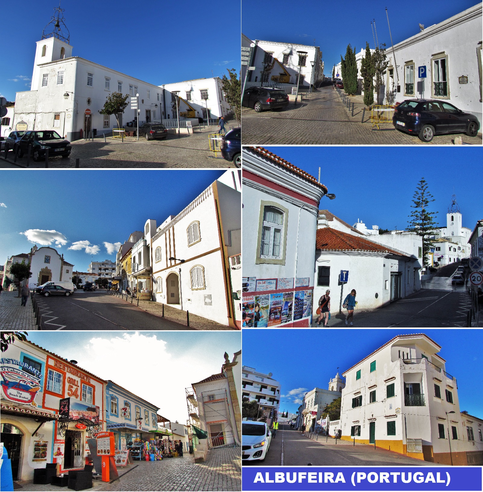
Albufeira is a city, seat, and municipality in the district of Faro, in the southernmost Portuguese region of the Algarve. The municipality population in 2011 was 40,828, in an area of 140.66 square kilometers (54.31 square miles). The city proper had a population of 13,646 in 2001. It is 250 kilometers (160 mi) from Lisbon and is within close proximity of Paderne Castle. Lagos is located 30 kilometers (19 mi) to the west, and Faro 45 kilometers (28 mi) to the southeast. A tourist destination (due to its coastal conditions), Albufeira expands to approximately 300,000 residents during the summer and during the Christmas and New Year celebrations, owing to the number of hotels and lodgings in the district, which includes marina facilities, golf courses, restaurants and bars for the annual flood of visitors.


👍👍👍👍👍

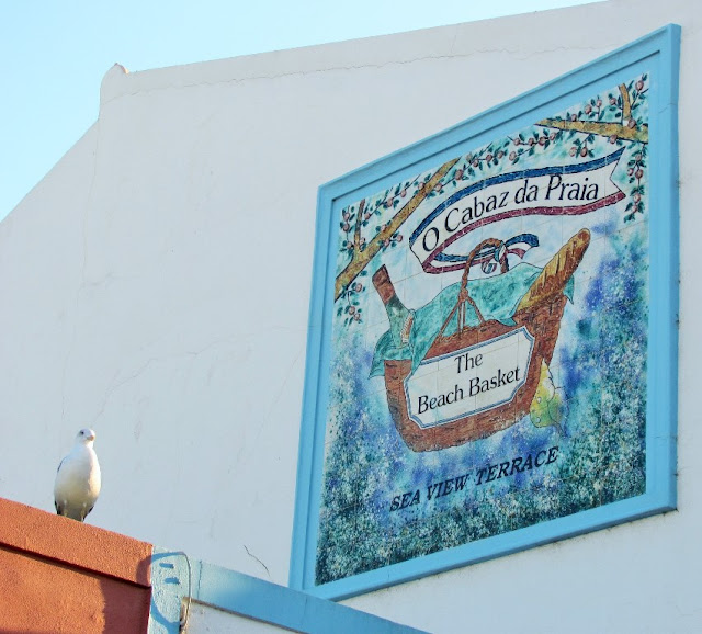
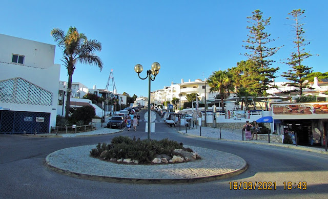
OLHOS DE ÁGUA
37° 05' 32" N; 8° 11' 30" W
Olhos de Água is a Portuguese town in the Municipality of Albufeira, which was the seat of the extinct Parish of Olhos de Água, which had an area of 14.35 km² and 3,961 inhabitants (2011), and, therefore, a population density of 276 inhabitants. /km².
It was extinguished and added to the Parish of Albufeira, to form a new parish called Albufeira and Olhos de Água with headquarters in Albufeira.
History
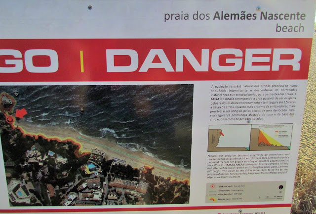
A small town with fishing origins, the formation of its name originated from the existence of several freshwater springs on the beach, by the sea and in the sea.
Next to these freshwater springs, Phoenicians, Carthaginians, as well as the Romans settled, who practiced fishing and developed the salting and drying of fish, which spread throughout the entire Algarve coast. Recently in archaeological work, traces of salt tanks from the Roman period were found on the neighboring beaches Maria Luísa and Santa Eulália.
Since the 1960s, tourism, which has been growing rapidly, has been the driving force behind the economy of Olhos d'Água, increasing the number of hotel and commercial establishments, restaurants, bars, apartments and hotels.
Present
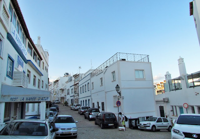
Olhos d'Água is 5km from Albufeira, which is the seat of the municipality, and 3km from Areias de São João, where most of the nightlife is located.
Olhos d'Água is a perfect place for family holidays, where most services are within a reasonable distance, there are different beaches, bars, restaurants, supermarkets, bank, shops, post office, health center, private clinic, hotels , bus stop, taxis, all services for a pleasant holiday.
Monumental Tour of Olhos d´ Água
Medronheira Tower
Built during the reign of D. João III, it served as a lookout to warn coastal towns of the approach of corsairs.
Freshwater Scouts
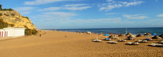
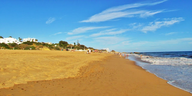
Along the beach you can see freshwater underwater springs.
Viewpoints
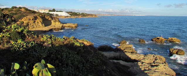
In Olhos de Água you can find, among others, the park's viewpoint, the Farol viewpoint and the cliff viewpoint.


👆👆👆👆👆

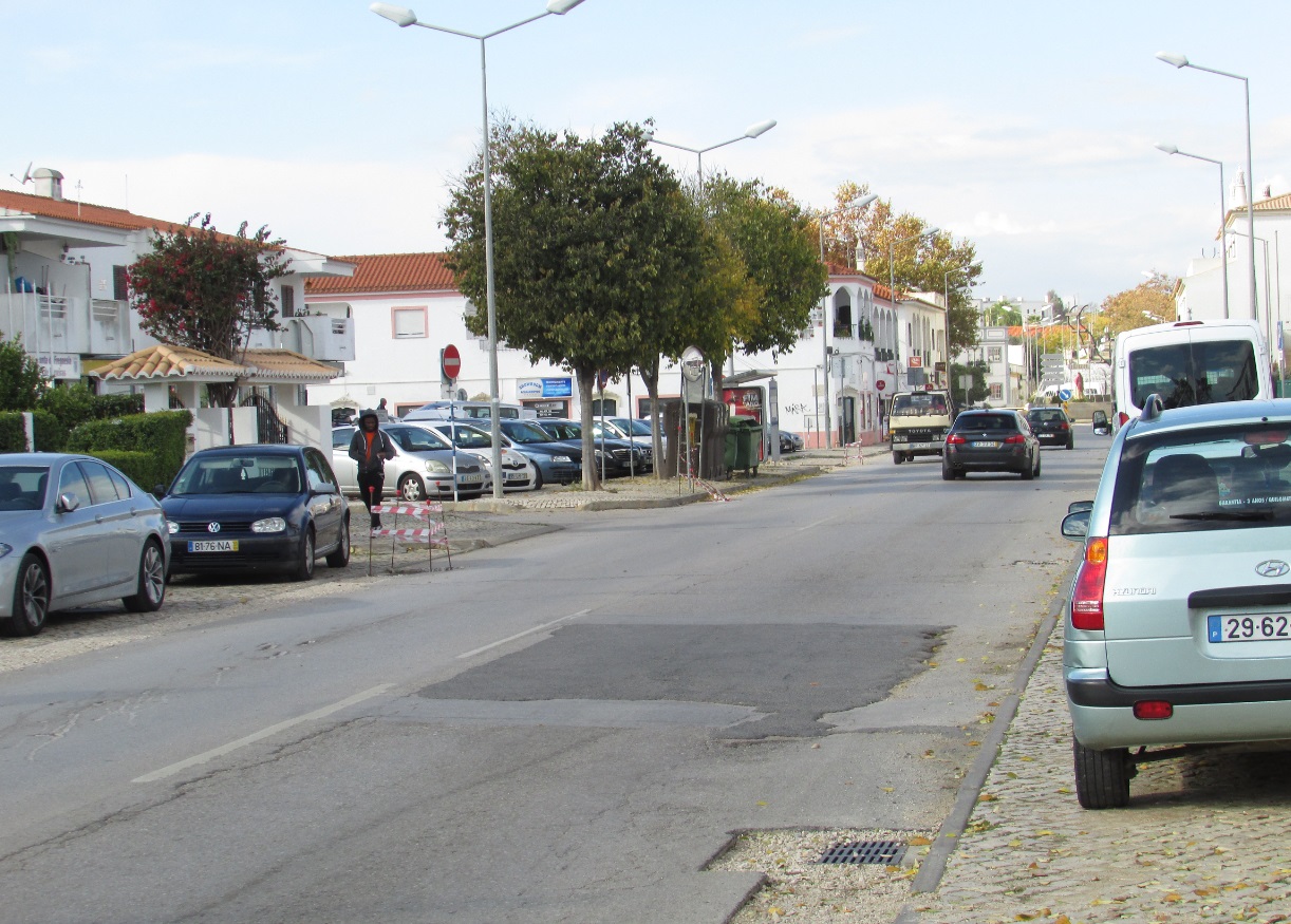
FERREIRAS
37° 07' 41" N 8° 14' 36" W
Ferreiras is a Portuguese parish in the municipality of Albufeira, with an area of 20.13 km² and 7267 inhabitants (2021 census). Its population density is 361 inhabitants/km².
History
From the discovery of various archeological vestiges within the territory, including the Cerros Altos region, there is a consensus that human settlement in the area occurred in the 2nd century A.D. (including the remains of forge/foundry and inscription).[3]
Other evidence of human occupation in the territory occurred in Ataboeira, where coins and fragments of pots, dated to the Roman occupation were discovered. Complementary evidence includes the visible Moorish influence on local architecture, such as the "typical" chimneys, the white-painted homes, and the Açoteias terraces.
Ferreiras was part of the parish of Albufeira until 1997 and was created on 12 July of that year.
Geography
Ferreiras is one of the five civil parishes Albufeira, located within the referred coastal Algarve, occupying 2,227 hectares of the municipality's 14,066 hectare territory.
The parish is centred 5 kilometres (3.1 mi) from the coast, and includes the settlements of Alfarrobeiras, Fontainhas, Lagoas, Mosqueira, Vale Serves, Pinhal, Assumadas, Poço das Canas, Alpouvar, Malhada Velha, Cotovio and Vale Paraíso. In the east is the roadway terminus of the parish, the Ribeira de Quarteira; the waterway, which springs in the north of the parish, results from the confluence of Ribeira de Algibre and Ribeira de Alte, and extends south to Paderne, around its castle.
The limits of the new parish extend to the north, to the parish of Paderne and the Escarpão roadway until Ribeira de Quarteira; the south is confined by the Caminho de Ferro, Caminho da Mosqueira and Caminho Municipal 1285 (municipal roadway) and the Estrada Nacional 395; the eastern frontier is limited by the municipality of Loulé; and the western border by the Caminho da Ataboeira and Caminho de Poço das Canas, until the limit of the municipality of Albufeira with Silves.
Economy
Agriculture and handicrafts constitute the two principal components of the regions economy, with handicrafts, primarily, complementing the traditional rural lifestyle.[3] In reality, though, agriculture is becoming of secondary importance, with the demise of the older generation and lack of support for traditional agriculture. Yet, the region is still a potential source of agricultural development, with optimal growing conditions and climate for the cultivation of almond, fig, olive and carob trees; many of the soils of the region are classified within the national agricultural reserve (Portuguese: Reserva Agrícola Nacional) designation, under the auspices of the Serviço de Reconhecimento e Ordenamento Agrário (Agricultural Land Recognition and Planning Service).
In parallel, Ferreira's secondary and tertiary sectors, primarily concentrated on industry, have contributed, along with the rapid increase in the tourism and hotelier sectors since the 1960s.
Architecture
Although Ferreiras has several historical buildings and structures, SIPA (the Sistema de Informação para a Património Arquectónico) identifies the following as classified patrimony:
17 June Barrio (Bairro 17 de Junho/Bairro SAAL de Ferreiras), a group of residences constructed after the 25 April Revolution, by the Serviço de Apoio Ambulatório Local created in Agosto 1974 by the central government; the SAAL was an experimental service to create an "efficient" urban area with diverse areas based on the theories of French intellectual Henri Lefebvre (1901-1991);
Railway Station of Albufeira (Estação Ferroviária de Albufeira), a 20th-century station constructed and inaugurated in 1918, the station at Ferreiras has since rapid service since November 1926, with regular service provided in 1938 by the Empresa de Viação do Algarve.


CP TRAINS


💓💓💓💓💓
SEARCH IN ALPHABETICAL ORDER
IN THE DISTRICT OF FARO

💓💓💓💓💓
Return to mainland Portugal &
the Azores and Madeira islands

