
ALTE
37º 14' 12'' N; 8º 10' 30'' W
Alte is a Portuguese parish in the municipality of Loulé, with an area of 94.33 km² and 1743 inhabitants (2021). Its population density is 18.5 inhabitants/km², which allows it to be classified as a Low-Density Area.
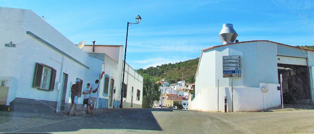
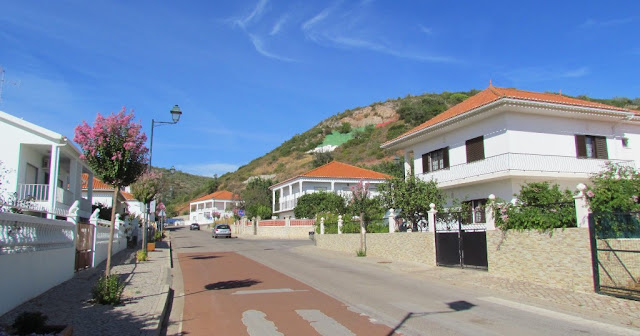
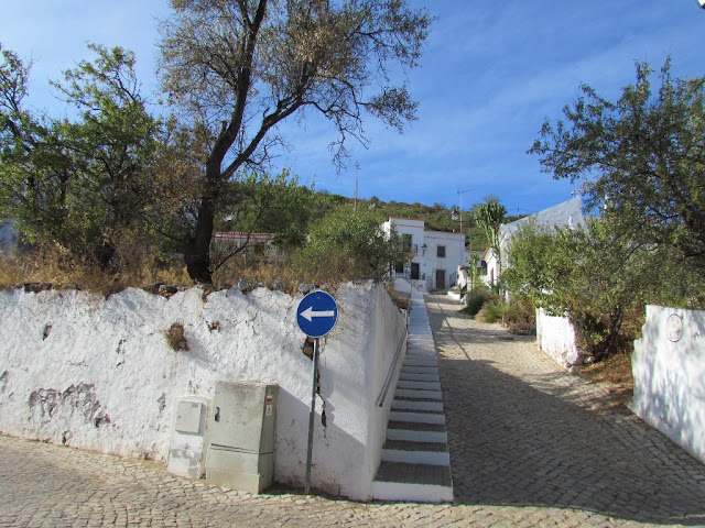
The village of Alte, the seat of the parish, is located in the geographical center of the Algarve, exactly on the limit between the Barrocal and the Serra. Away from the tourist coast, it is considered one of the most typical and preserved villages in the Algarve (and even throughout Portugal), with its houses painted in the region's current colors (ocher, almagre, blue, anthracite, standing out against a background white), the roof terraces, the traditional chimneys and the alleys paved in Portuguese cobblestone.


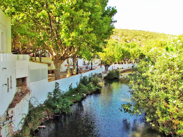
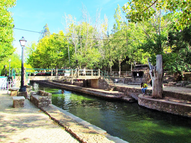
ALTE RIVER BEACH
37° 14′ 18.9″ N, 8° 10′ 7.2″ W
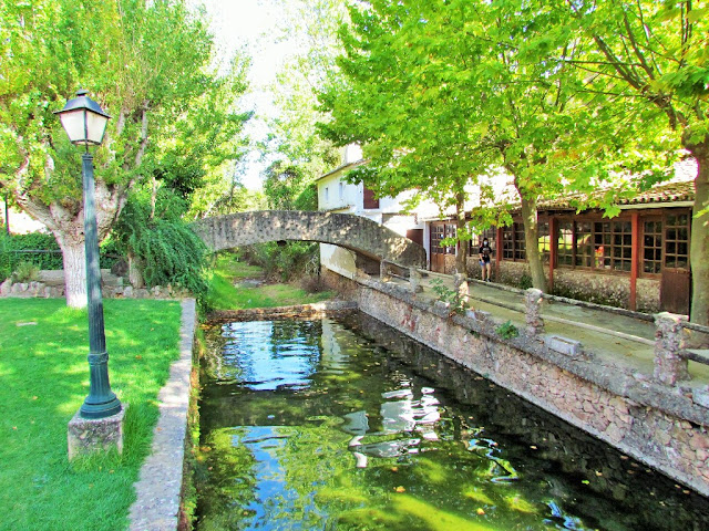
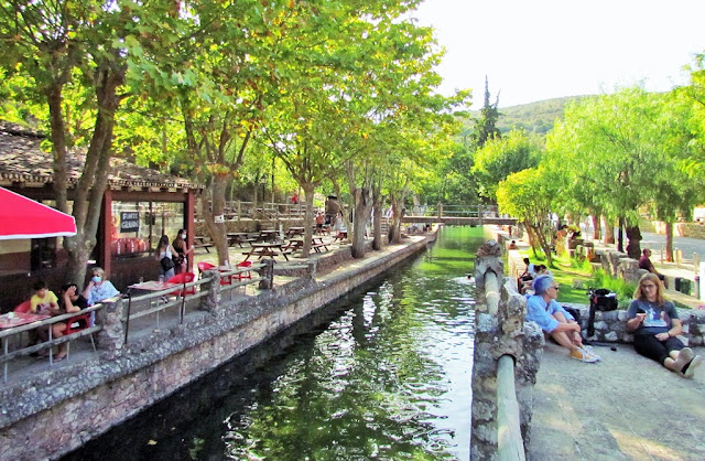
Surrounded by plane trees and olive trees, the 100-meter-long natural pool has numerous spaces around it to relax with views of small arched stone bridges. Below them, the shadows are used in a picnic area with stone tables and benches.
Located in the hills of Serra do Caldeirão, this river beach is on the northern limit of the Querença-Silves Aquifer System, the largest underground water reservoir in the Algarve. This system develops in dolomites (sedimentary rocks) and limestones from the lower and middle Jurassic (between 200 and 161 million years old).
Carob trees, orange trees and strawberry trees are some of the species that stand out in the landscape, as well as riverine vegetation, such as ash trees, willow trees and oleander trees. In rocky areas, juniper is dominant.
Support infrastructures: bar, picnic area, barbecue area, car park.
Access: narrow and winding roads, in good condition


NEW PHOTOS TAKEN IN 2024
QUEDA DO VIGÁRIO (WATERFALL)
37° 13' 54.5" N; 8° 10' 45.4" W
The Alte Waterfall (better known as Queda do Vigário) is the terminal part of a sequence of waterfalls formed in limestone tuffs found on the Alte River in Alte, in the municipality of Loulé, in the Algarve, Portugal. Limestone tuff is a type of rock formed in waters of karst origin that, after losing carbon dioxide, becomes supersaturated in calcium carbonate that accumulates at the bottom of water courses, in waterfalls, lakes or any other aquatic environment. It is popularly called a dam.


💓💓💓💓💓
SEARCH IN ALPHABETICAL ORDER
IN THE DISTRICT OF FARO

💓💓💓💓💓
Return to mainland Portugal &
the Azores and Madeira islands

