
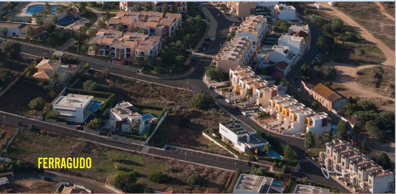
FERRAGUDO
N 37.12345; W 8.521989
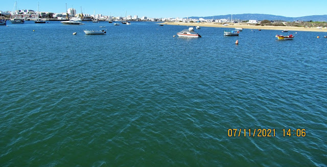
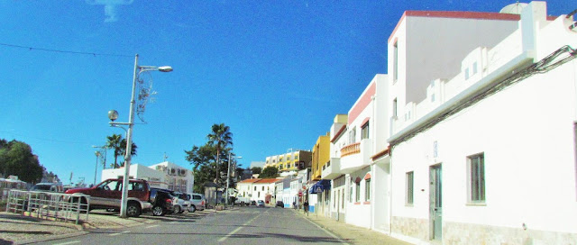
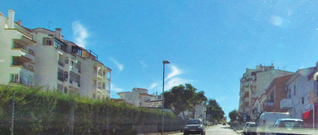
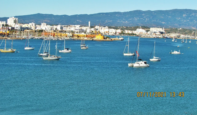
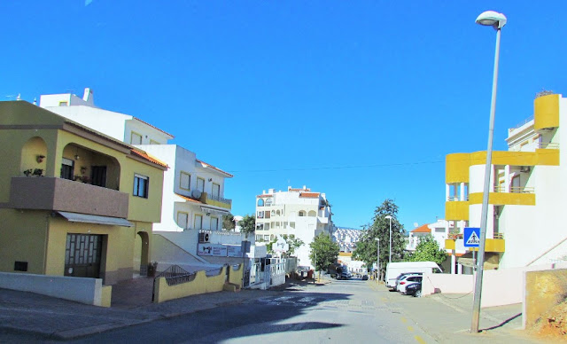
Ferragudo is a Portuguese civil parish at the western border of the municipality of Lagoa. The population in 2011 was 1,973, in an area of 5.41 km². Ferragudo serves mainly as a bedroom community for its much larger neighbor, the city of Portimão; its residents routinely travel across the Arade River to work in the neighboring municipality.
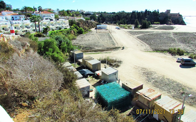
The civil parish is bordered on the west and south by Arade River and the Atlantic Ocean, and its landscapes are colored by the fishing economy and tourist beaches, such as Angrinha, Caneiros, Torrados, Infanta, Afurada, João Lopes, Molhe, Pintadinho, and Praia Grande. It is situated between the parish of Parchal (in the north), Estômbar (in the east), and the municipality of Portimão (in the west, across the Arade River). The population is concentrated along the E.N.539 motorway and Atlantic coast, separated into two principal localities: Ferragudo and Vale de Azinhaga.
Among the natural scenic sites is the Ponta do Altar as well as various cliffs, caverns, vent chimneys, and steep cliffed islets.


37.12347º N; 8.52189 W


37.10812º N; 8.51821 W


👇👇👇👇👇

CAMINHO DOS PROMONTORIOS
37º 06' 34.69 N 8º 31' 09.60'' W
or
37º 05' 49.04'' N 8º 28' 29.61'' W
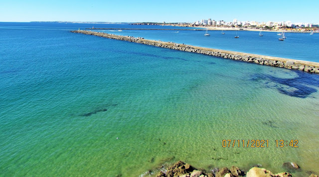
The Caminho dos Promontórios or Trail of the Handlands is a hiking trail covering about 7km (close to 4.5 miles) between two beaches – Praia do Molhe in the village of Ferragudo (in the west) and Praia do Paraíso in Carvoeiro (in the east). Inaugurated in the summer of 2018 when a 400-year-old watchtower known as Torre da Lapa was restored, it hasn’t yet become as popular as the more famous Seven Hanging Valleys trail also in the region of Lagoa. However, it’s very much worth discovering, as it also offers a striking scenery of headlands, secluded beaches, sea caves, and sinkholes. The fact that few people know about it means that you’ll enjoy the views in peace. There are signs and displays along the way to explain the geology, fauna, and flora, plus the history of the settlements in the region.
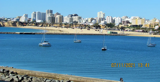
Praia do Molhe is where you can begin or end the trail. The small beach has a panoramic view of the city of Portimão and its marina. It’s named after the jetty (“molhe”) that marks the end of the Arade River and the beginning of the Atlantic Ocean. It’s frequented almost exclusively by local families and has calm waters.
The next beach is Praia do Pintadinho, another favorite of locals. It’s overlooked by a 19th-century lighthouse at the top of a headland (not open to the public) and has caves created by thousands of years of erosion. This is a popular spot to watch the sunset.
Continuing towards Carvoeiro, you arrive at Praia dos Caneiros, a very popular beach with a restaurant serving fresh fish and seafood. At low tide, this beach offers direct access to the quiet Praia do Torrado, a beach with small caves. In between is an environmentally-protected sea stack that’s the habitat of sea birds (with binoculars, you can see their nests).
Before you reach Carvoeiro you’ll encounter the aforementioned watchtower. The circular structure guarded the entrance to the Arade River, using smoke signals to warn the local population about pirates. Despite its lack of architectural relevance, its historical significance has granted it protection as a “monument of public interest”.
To the east are the beaches of Vale da Lapa, Cama da Vaca (only accessible from the sea), and Praia dos Três Castelos, which is quite beautiful and often empty (not to be confused with the beach of the same name in Portimão). The trail then ends practically in the center of Carvoeiro, at the beach of Paraíso.
The entire trail isn’t difficult, but you should use proper footwear and bring plenty of water, sunscreen and a hat. It’s also recommended that you keep a safe distance from the cliffs. To cover the entire trail it takes about three hours (six to go and return), depending on how many stops you make to rest or photograph the coastline.
How to Get to the Trail of the Headlands
Praia do Molhe is located about 15 minutes by car from the center of Carvoeiro, following road M1272. It’s also 15 minutes from Portimão, crossing the Ponte Velha bridge. There’s parking by the beach. If you prefer to start the trail in Carvoeiro, note that parking there is very limited. If you’re relying on public transportation, you can take Vamus bus 110, which runs between Portimão and Lagoa and stops by the Vale Azinhaga campsite, a 10-minute walk from Praia do Molhe. However, there are only eight departures per day on weekdays and only four on weekends.
👇👇👇
The municipality of Lagoa’s coastline is characterized by the jagged and laced appearance of a continuous line of cliffs. Their abrupt nature mesmerizes those who watch the ocean from there. This morphology is determined by very peculiar geology, slowly shaped by rainwater, waves, and wind.
“Caminho dos Promontórios” follows the coastline and extends for 6 km, between Praia do Molhe, near the mouth of the Arade River, and Praia do Paraíso, near the village of Carvoeiro. From the Ponta do Altar headland to the east, a succession of small headlands alternate with small recessed beaches or rocky and stony deposits resulting from ancient landslides. However, the imposing cliffs clearly steal the show, unfolding in imposing displays of singular beauty.
Along the path, visitors will be able to find written and visual information on geology, lithology and geomorphology, marine ecosystems, and coastal vegetation as well as evidence of human presence.

TRAIL FACT SHEET
Name: “Caminho dos Promontórios” (Path of the Headlands) Trail
Location: Lagoa Municipality
Type: Short trail (Linear)
Distance: 12km (round trip)
Grade: Medium
Max. Altitude: 45,50m
Min. Altitude: 7,50m
Best time to visit: Spring and Autumn. Avoid very hot, stormy or windy days.
HOW TO GET THERE:
Praia do Molhe – road access from Ferragudo, eastbound for 3 Km
GPS: 37.109880, -8.519095;
Praia do Paraíso – road access from Carvoeiro, southwest bound for 250m until Praia do Paraíso
GPS: 37.096856, -8.474874;
RECOMMENDATIONS:
-Only use the existing trails and paths – avoid shortcuts;
-Don’t pick or damage plants – respect Nature;
-Don’t litter!
-Comfortable clothes and sturdy footwear are a must. Make sure they’re appropriate to the season;
-Don’t forget water;
-Bring binoculars, a camera and a field guide to learn about the surrounding Nature.


💓💓💓💓💓
SEARCH IN ALPHABETICAL ORDER
IN THE DISTRICT OF FARO

💓💓💓💓💓
Return to mainland Portugal &
the Azores and Madeira islands

